Sarawak’s Rajang River Delta
Published on June 16, 2016 | by earthobservatory.nasa.gov
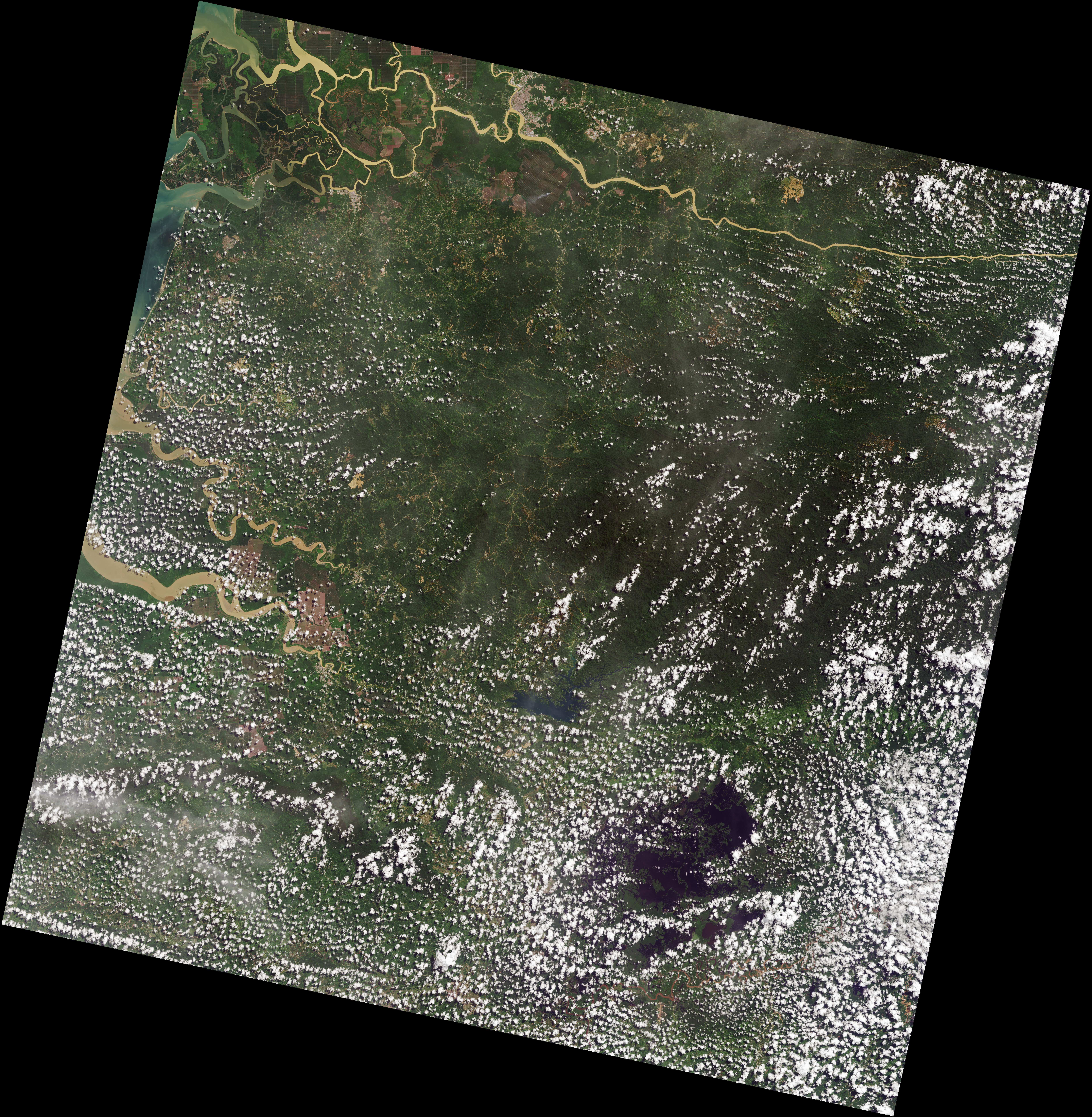
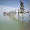
On June 16, 2016, the Operational Land Imager (OLI) on the Landsat 8 satellite acquired this image of the Sarawak River Delta on the island of Borneo in East Malaysia. The Rajang River, visible at the bottom of the image, is Malaysia’s longest (563 kilometers) and can be navigated from the South China Sea to points far inland.
The area’s unique drainage patterns are most obvious in the top-right quadrant of the image, northeast of Sarikei. Here you can see the Rajang River forking at several sharp T-shaped junctions, heading at times 90 degrees from its previous path, and then turning west and resuming its path toward the sea. According to Robert Gastaldo, a sedimentologist at Colby College, this so called “T-junction splitting” is the result of faults in the Earth’s upper crust. The faults cause blocks of land to drop downward, which strongly influences the path that water will take.
Not all of the rivers pictured here take such sharp turns. According to Gastaldo, the gentle snake-like turns are sculpted by the incoming and outgoing tides, which can be significant in this delta. During a king tide, water can rise and fall by 6 meters within a 12-hour cycle. Tides also influence the shape of a river’s mouth. As a tide falls, or “ebbs,” seawater rushes seaward. The high speed of that rushing water, combined with the normal seaward flow of river water, sculpts a funnel-shaped mouth. The Batang Paloh is a clear example of this phenomenon, where the mouth is much wider toward the ocean and narrows toward the land.
You can also see an array of colors in the waters throughout the delta. Light brown “tea-colored” water is caused by humic acids that have leached into the water from the peatlands. (The entire area is blanketed in a layer of thick peat that has been accumulating since about 7,500 years ago.) Yellow-tinged waters contain a mix of this peat and large amounts of suspended sediment. The gradient in color depends on how much sediment remains suspended in the water as it approaches the coast.
“In the 1960s, the Rajang River flowed clear with a tinge of light-brown tea water,” Gastaldo said. “Once logging commenced, the high amount of rainfall in this part of the island could more easily erode the soils, significantly increasing the suspension load.”
NASA Earth Observatory image by Mike Taylor, using Landsat data from the U.S. Geological Survey. Story by Kathryn Hansen, with image interpretation by Robert Gastaldo/Colby College.
The Federal Government then bought the palace in 1957, to be converted into the Istana Negara. Since then it had undergone several renovations and extensions. But the most extensive upgrading was carried out in 1980, as it was the first time that the Installation Ceremony of His Majesty Seri Paduka Baginda Yang di-Pertuan Agong was held at the Istana Negara. Prior to this the Installation Ceremonies were held at the Tunku Abdul Rahman Hall in Jalan Ampang, Kuala Lumpur.
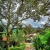
This majestic building is nestled within a serene and beautiful 11.34-hectare compound with a variety of plants and flowers, swimming pool and indoor badminton hall. It is located at Syed Putra Road right in the heart of the capital of Malaysia, Kuala Lumpur. The building has several halls for specific purposes such as the two main halls, the Throne Hall (Balairong Seri) and the Audience Hall (Dewan Mengadap) on the ground floor.
The whole area is fenced up and the Royal Insignia of His Majesty is placed on each steel bar between two pillars of the fence. At the front of the Istana Negara, there is the main entrance which resembles a beautiful arch. On each side of the arch, are two guard posts to shelter two members of the cavalry in their smart full dress uniform similar to the ones at Buckingham Palace, London.
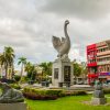
As the palace grounds are not opened to members of the public or tourists, the Main Palace Entrance is a favourite picture spot for tourists.
Popular Places